Finikia-Kouloumbos
Finikia-Kouloumbos
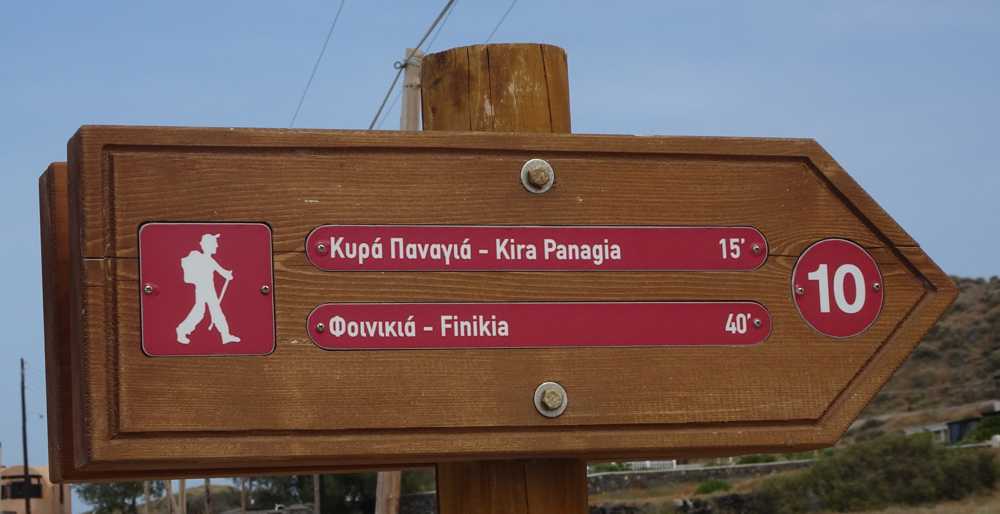
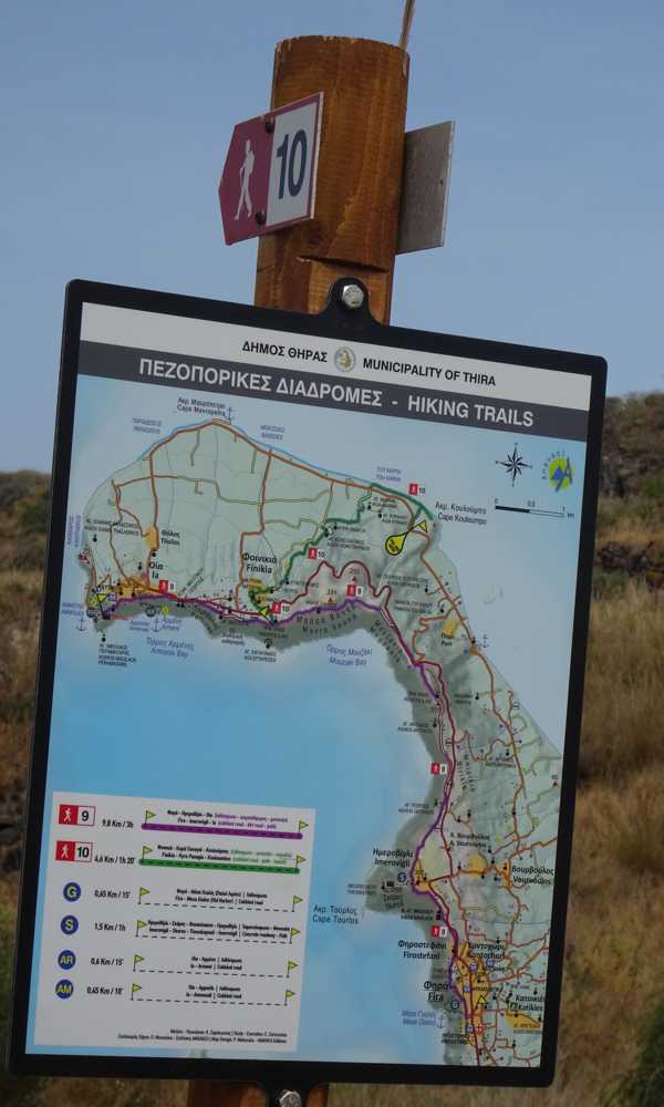

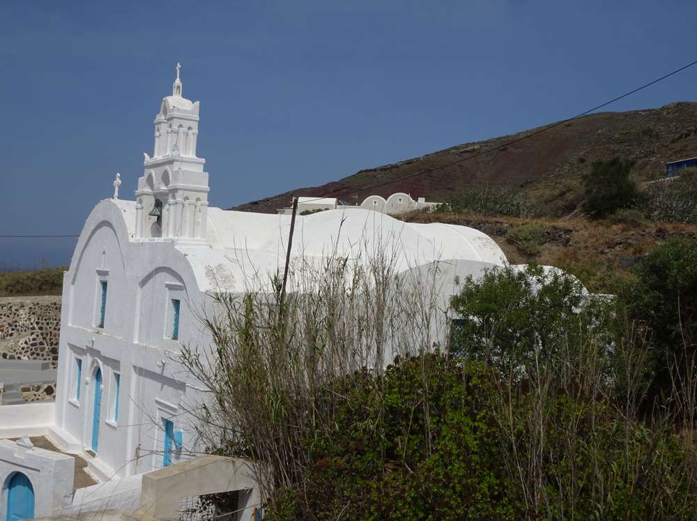
Starting from Oia, initially follow Route 9 (Fira-Oia). Near the chapel of Prophitis Ilias, descend a few dozen meters to the left, along a cobbled path, and reach the Oia-Fira road. Cross the road and enter the main cobbled path of Finikia, wich descends gently to the lower part of the settlement.
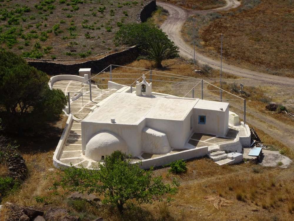
Exiting Finikia, pass behind a large estate (using a small alley), reach a dirt road and immediately let him to pass back a field with a clear (but no longer used) path. So we arrive in front of Aghios Konstandinos and under Kyra Panagia chapels.
From here, take a small dirt road that passes close to the chapel of Aghia Marina and then get the narrow dirt road that leads to the asphalt. A few tens of meters to the right, enter a service area and go down to the beach. Walk on the beach to the right (east) and arrive at Cape Coloumbos with its dark rocks.
Get a small path to reach the road.
Identity
Finikia-KouloumbosHiking route
Waymarking: Trail 10
Difficulty: 2/5
Return to start: By bus
Aesthetic value: Exquisite
Metrics
Length: 4490 mTime: 1h50
Min elevation: 1 m
Max elevation: 209 m
Total ascent: 61 m
Total descent: 234 m
Trail analysis
Dirt road: 8%Path: 92%

topoguide.momeece
Hiking in Santorini
The digital field guide Santorini topoguide is available for Android devices as an in-app purchase within the application topoguide.momeece. Santorini is a member of the Greek Islands group.
Santorini topoguide is also available as an in-app-purchase for iOS & iPad devices via the global hiking app topoguide.momeece app. There again, Santorini topoguide is a member of the Greek Islands group.
topoguide.momeece offers active guidance along the trail, as well as an extended guidebook on the geography, the nature and the history of the area.